Front Page

Roerich House, One of the jewels of Naggar and the valley
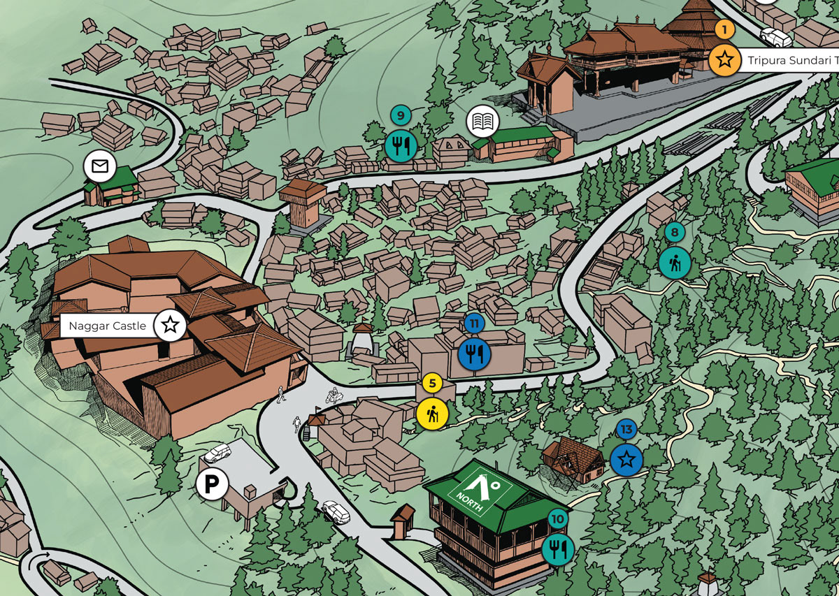
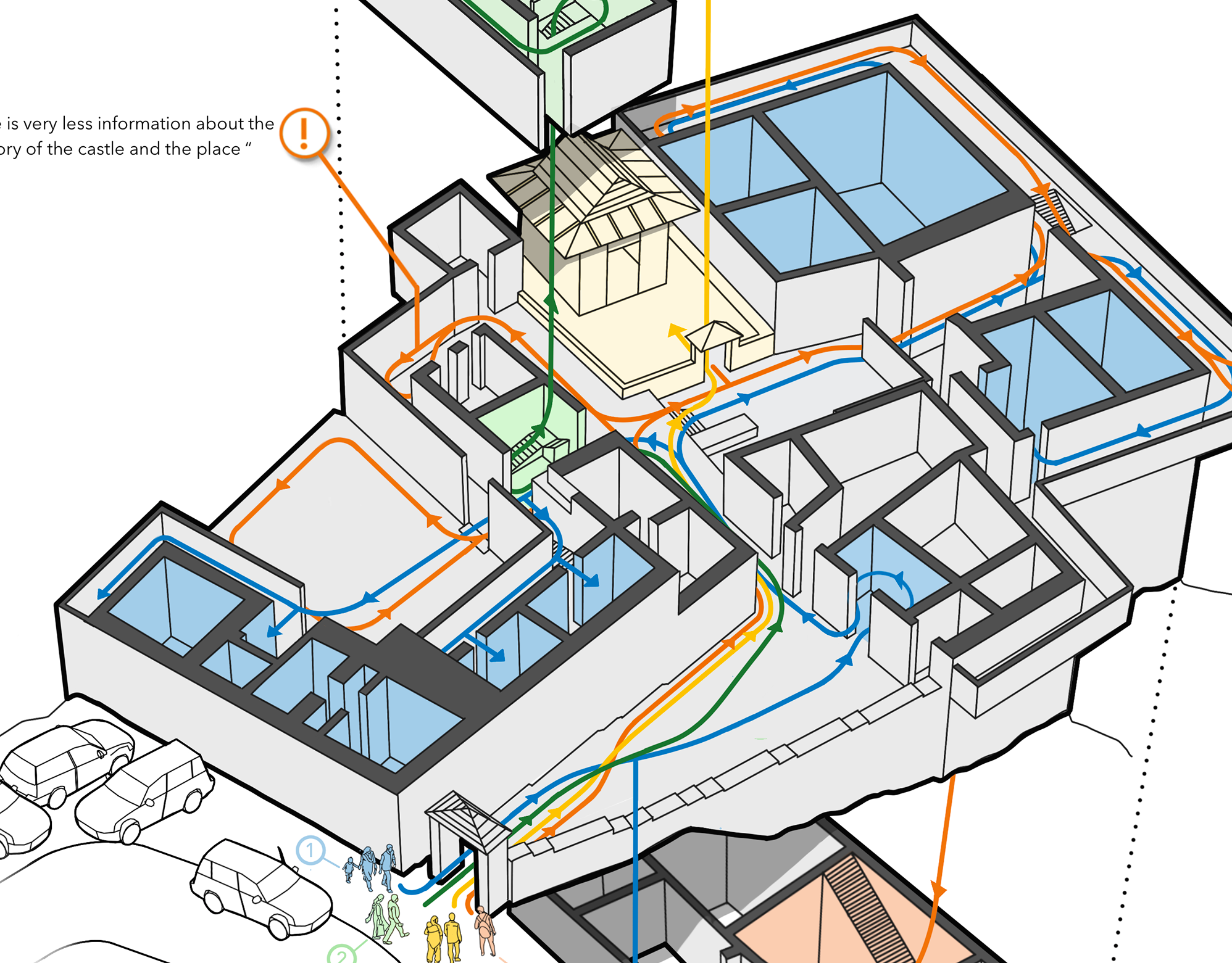
Naggar Castle, Tripura Sundari temple, NORTH campus
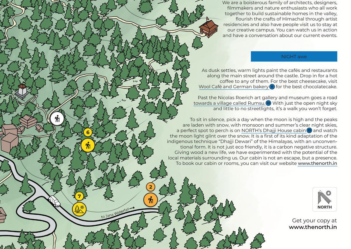
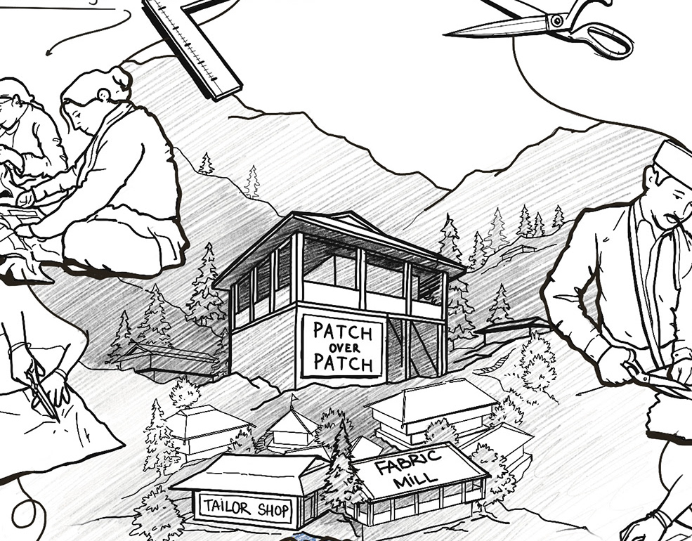
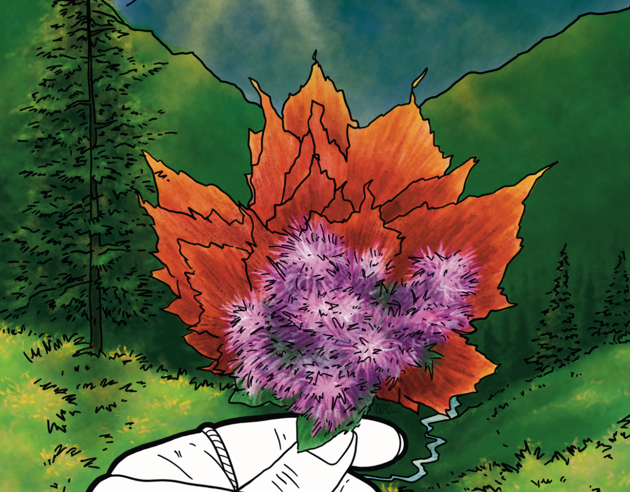
A glimpse of recommended experiences from the NORTH team
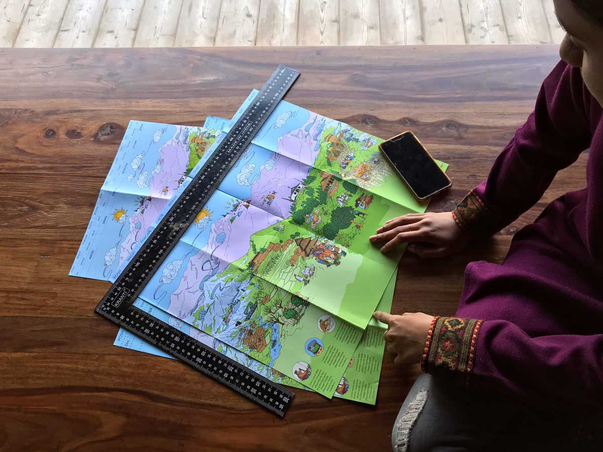
This Infographic map is developed as a two-sided foldable map, which contains two seperate infographs.
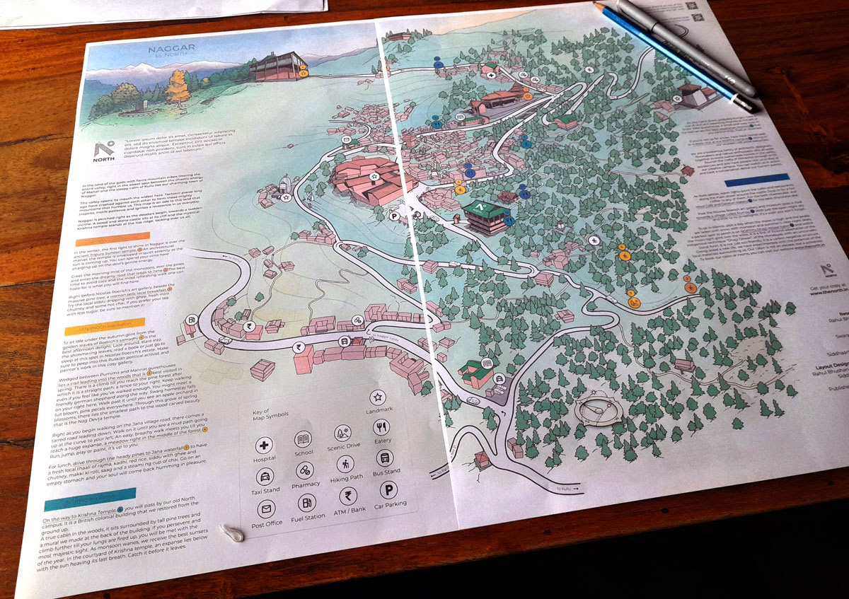
The front page of this Infographic map opens up to the mountain town of Naggar (Himachal Pradesh), which indicates the location, compass bearings, access points for private and public transports, public utility spaces (banks, pharmacy, ATMs, etc.). One can also read through the accompanying descriptive text to plan their day or stay in and around Naggar, with ample options for small hikes or long treks ; shopping for local handicrafts; visiting the local coffee shops and bakeries ; places of worship ; or catching a lovely sunset behind the mountains with a cup of hot tea.
The front page of this Infographic map opens up to the mountain town of Naggar (Himachal Pradesh), which indicates the location, compass bearings, access points for private and public transports, public utility spaces (banks, pharmacy, ATMs, etc.). One can also read through the accompanying descriptive text to plan their day or stay in and around Naggar, with ample options for small hikes or long treks ; shopping for local handicrafts; visiting the local coffee shops and bakeries ; places of worship ; or catching a lovely sunset behind the mountains with a cup of hot tea.
Back Page

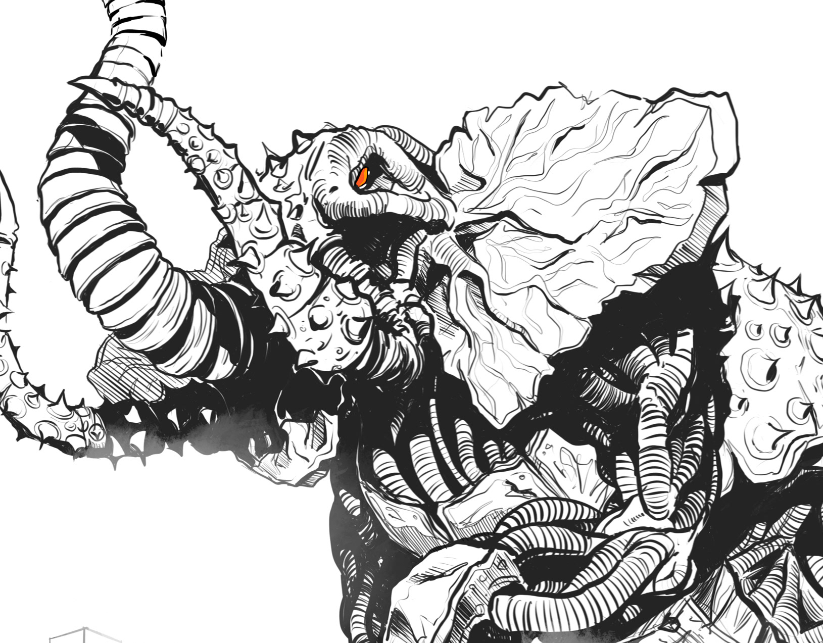
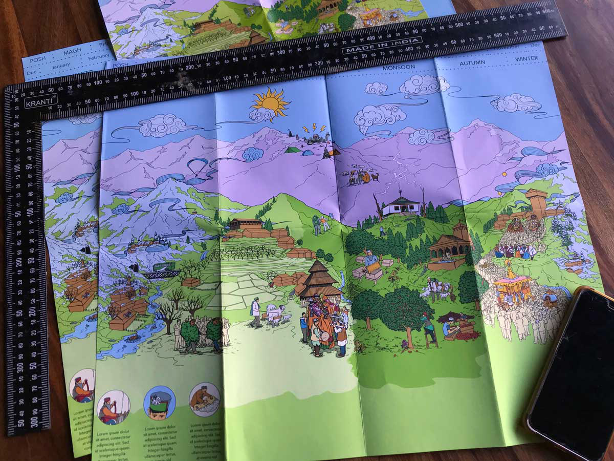
Cold barren winter giving way to light and greenery
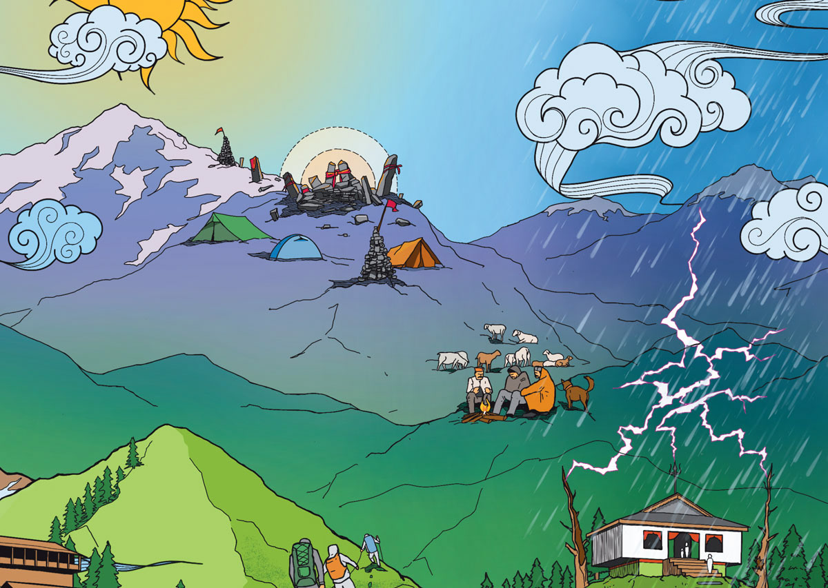
Changes in weather and activities in the valley
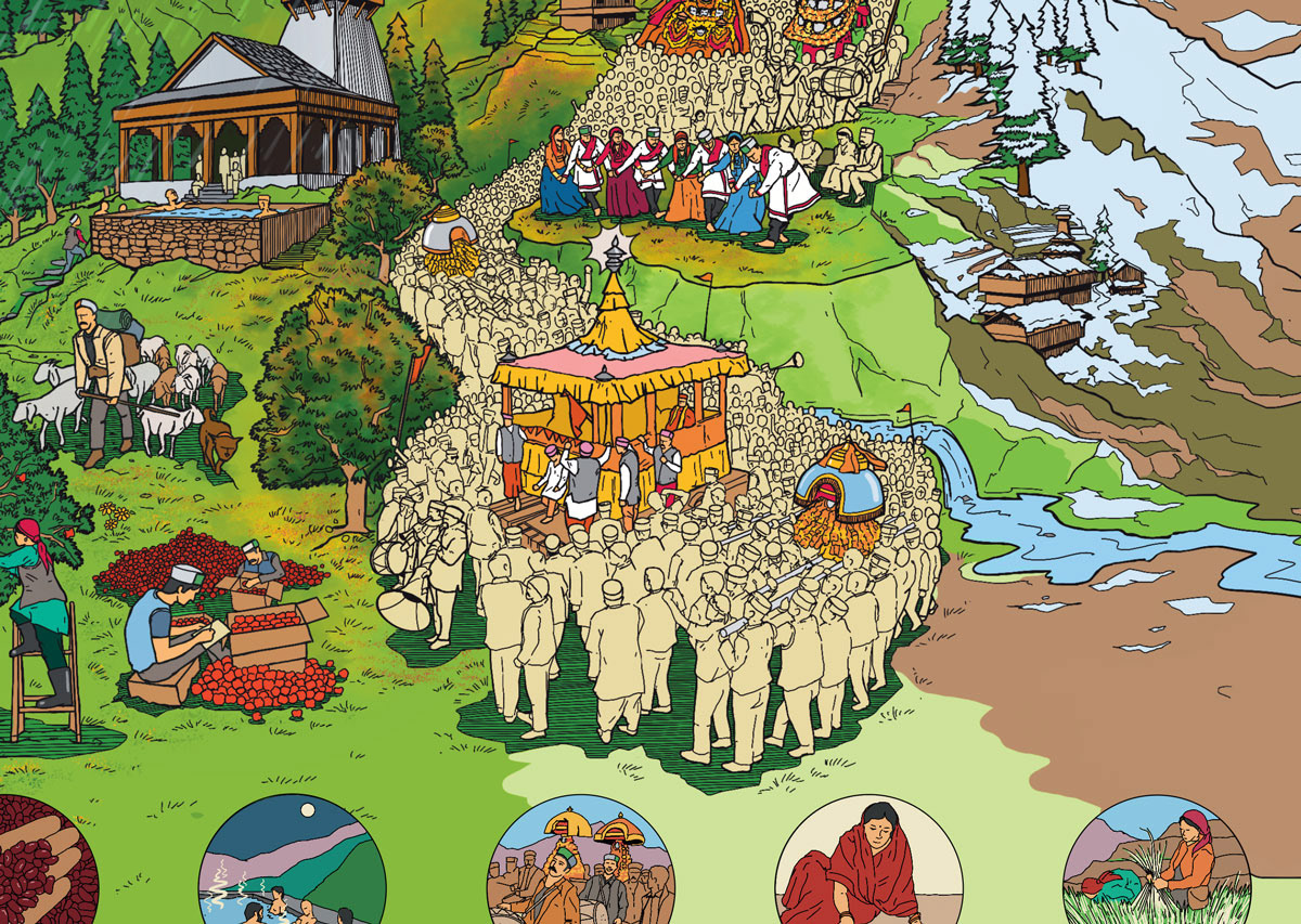
Apple season blending into Dussehera celebrations
The back page of this Infographic map depicts the local traditions and cultures of the valley and its people whose lives are primarily run by the 4 seasons and an unforgiving weather conditions.
One can notice that the months have been mentioned in both the local calendar and Gregorian calendar (for reference), which helps us get a glimpse into the local festivites defined by their powerful belief systems in spirituality and local deities ; season based farming of fruits and vegetables ; activities related to animal husbandry such as rearing of sheep, shearing wool, beekeeping and extracting honey ; commercial tourism activities like mountain climbing, trekking, paragliding, rafting ; as well as lean non productive months due to heavy snow and cold.
This map was created as an ode to the tough resilient people of the valley, and for the rest of us to get a glimpse into their lives
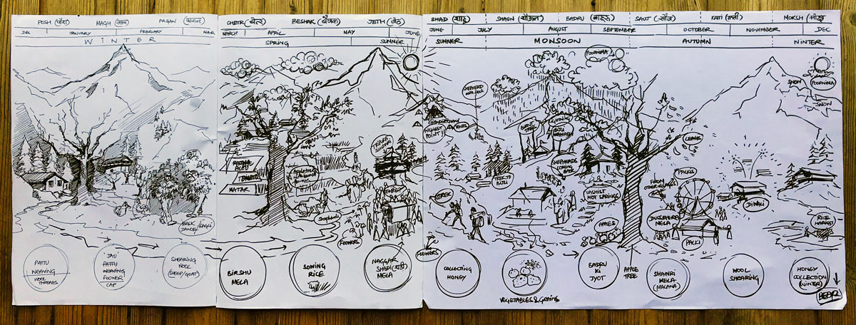
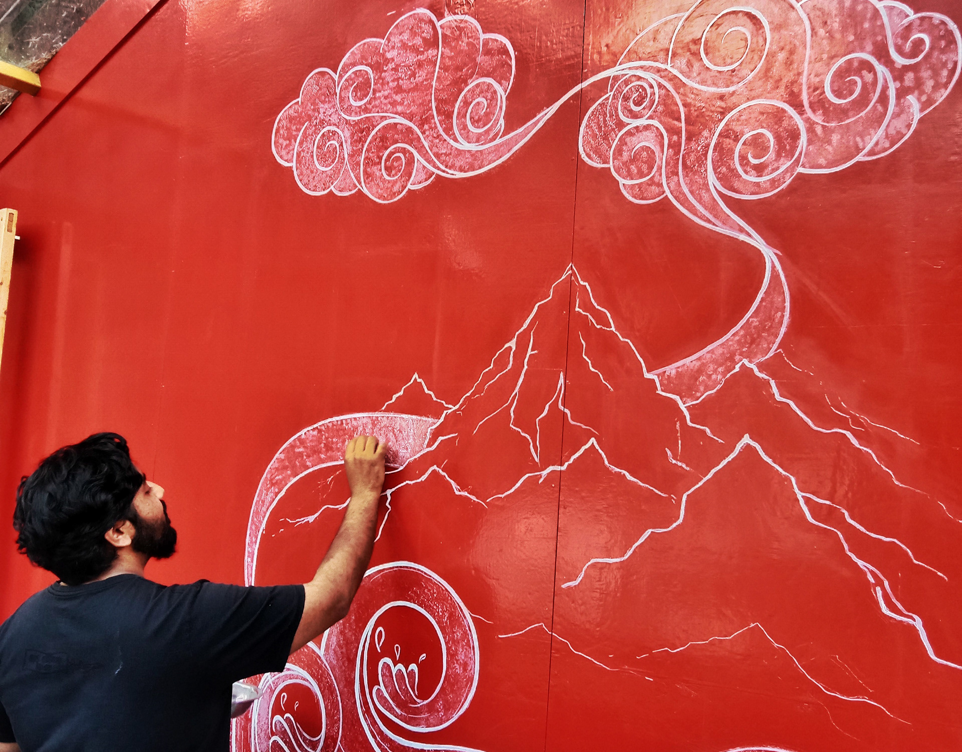
First level visualisation showing transition between seasons
Print mock-up
Print Mockup
